
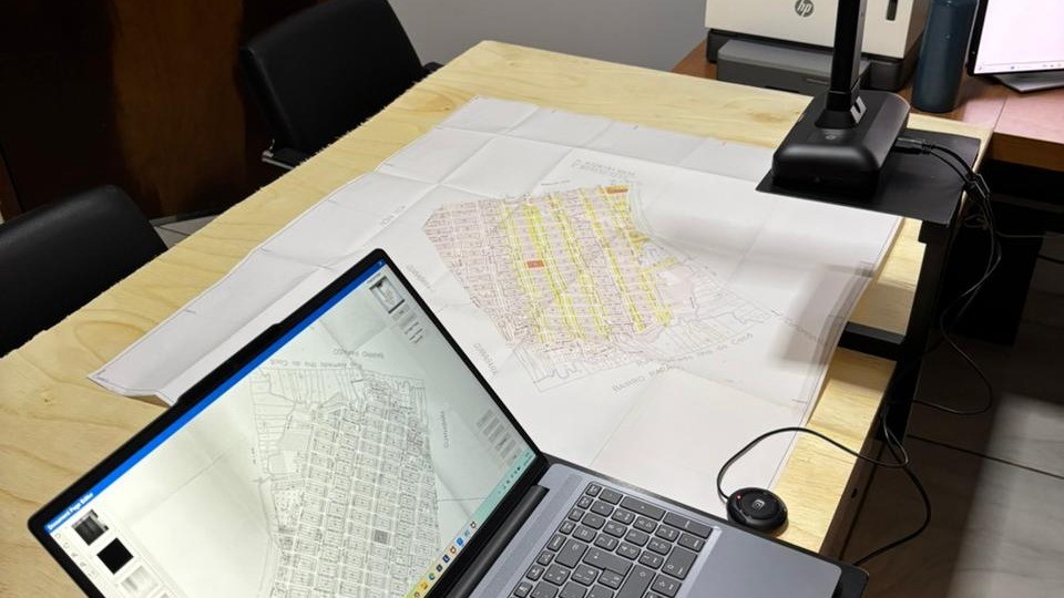
By transforming paper land records into digitized data, a Land Facility-supported pilot in Pará is demonstrating a practical, scalable pathway towards more efficient, transparent, and secure land governance across the Brazilian Amazon.
In the Amazon, the state of Pará faces some of Brazil’s most acute land governance challenges. Large areas of undesignated public land and fragmented land information systems have created conditions that contribute to overlapping claims and conflict that undermine sustainable land management. If and when titles exist, many registry offices still rely on handwritten or deteriorating documents, making it difficult to establish clear, reliable, and accessible land information.
“Despite internet access and institutional initiatives to modernize the land registry, it is still common to need to travel to the location for consultation, making the process of accessing information slow and expensive,” explains Luly Fischer, a land governance expert at the Federal University of Pará. “In addition to digitization, the oldest real estate registries require restoration in order to be systematized.”
Land Facility, in partnership with the Global Land Alliance , worked with the Instituto Governança de Terras and professors Luly Fischer and Jose Heder Benatti from the Universidade Federal do Pará to pilot a practical solution: a methodology for systematically digitising and georeferencing land registry archives so they can be compared with existing cadastral and environmental databases.
The digital land registry pilot focused on Canaã dos Carajás, a municipality where over 90% of the land has been identified as federal land. Paper-based land records and overlapping land claims made it an ideal testing ground for the methodology.
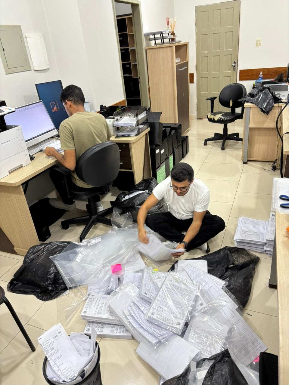
To go beyond digitising records, the team developed a methodology to transform paper-based records into spatially referenced digital data that could be cross-checked against Brazil’s existing land and environmental data systems. Working closely with the local land registry office, the project team digitised 510 active rural land records and analysed more than 300 of them in detail. The process involved reviewing each record, identifying georeferenced descriptions, generating digital polygons, and comparing them against existing cadastral and environmental data.
Revealing gaps in documentation
The results show that 56% of the analysed records were already suitable for immediate integration into Brazil’s georeferenced land registry system, demonstrating that large portions of existing archives can be modernised relatively quickly. At the same time, the analysis exposed inconsistencies and gaps in existing land information. Many of the remaining records contained problems or errors in their georeferenced descriptions, and dozens could not be processed at all due to incomplete information.
“For registry documents from 1973 onward, the pilot has yielded good results, with the potential to scale to other offices in the Amazon,” explains José Benatti, professor at the Federal University of Pará. “The National Council of Justice (CNJ) already has an initiative that could benefit from the research findings to optimize the georeferencing procedure for documents currently being digitized.”
The pilot also identified risks linked to overlapping public lands and missing registry information for large federal and municipal areas, including protected areas that account for more than half the municipality’s territory. The findings have reinforced both the scale of the challenge and the potential for practical solutions.
“There is a need for complementary studies in the future for the restoration of older land documents that would allow for retracing the history of formal land occupation in the region starting in the late 19th century,” explains Benatti.
A scalable methodology
The methodology developed through the project proved both practical and scalable. The team produced a detailed framework for how additional registry offices across the Amazon could modernise archives, improve data quality, and strengthen interoperability between registry and cadastral systems.
The framework also proposed technical and institutional improvements to help registry systems better identify overlaps, integrate environmental and territorial data, and improve transparency around land ownership. For Brazil, the initiative contributes to broader efforts to modernise land governance systems, improve legal certainty, and support more sustainable land use in the Amazon.
Land Facility supports Brazil’s land governance reform agenda by helping national and state institutions modernise land administration systems, improve tenure security, and promote sustainable and equitable land use. Working alongside Brazilian partners, the programme contributes to more transparent and interoperable land information systems, greater inclusion of Traditional Peoples and Communities, particularly Indigenous Peoples and Quilombolas, and stronger foundations for inclusive green growth in the Amazon and beyond.